The National Register district runs from the Savannah River south to Gwinnett Street, and from East Broad Street west to the former West Broad Street, now Martin Luther King Jr. Boulevard. The city's local preservation district uses its own mapped boundary, so a hotel or listing that says “Historic District” may be using the term more loosely. Check the address against the Metropolitan Planning Commission map when the distinction affects a booking.
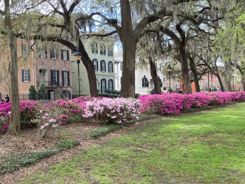
The ward plan is the key to exploring it. Small squares interrupt the street grid at regular intervals, so the route moves through public space instead of staying on one commercial corridor. Savannah historically had 24 squares; 22 remain.
Visiting basics
- Working boundaries
- Savannah River to Gwinnett Street; East Broad Street to Martin Luther King Jr. Boulevard for the National Register district
- Squares remaining
- 22, as documented by The Cultural Landscape Foundation
- Entry
- The streets and public squares are free; museums and tours set separate admission
- Getting around
- Walking plus the free DOT shuttle and Savannah Belles Ferry; verify current CAT hours
- Car strategy
- Park once in a city garage; rates and event pricing vary by garage
- Facts checked
- September 1, 2026
Divide the district by the trip you want
| Area | Good fit for | Plan around |
|---|
| River and north edge | River Street, Factors Walk, City Hall, ferries and riverboats | A steep change between Bay and River streets; use public elevators if steps or ramps are a problem |
| North and central squares | Johnson, Wright, Chippewa and Columbia squares; house museums; a first walk | Timed museum entry can control the route |
| South of Liberty Street | Calmer residential blocks, Monterey Square and a route toward Forsyth Park | Forsyth lies beyond the National Register district's Gwinnett Street boundary |
| West edge | City Market, Ellis and Franklin squares, MLK corridor museums | Weekend activity and event closures can slow vehicles |
A realistic first walk
Start near Johnson Square, move south through Wright and Chippewa squares, then continue to Monterey Square. That route explains the grid while leaving room for one house museum or a meal. Continue to Forsyth Park only if the group is comfortable adding more distance. River Street is better treated as a separate loop because getting down to the waterfront and back up changes the effort.
Allow extra time for brick walks, uneven paving, crossings and stops. A route that looks short on a map can take much longer once it includes a museum tour or several squares. On hot or wet days, pair a shorter outdoor section with Telfair Academy, the Jepson Center or another indoor attraction whose current hours you have checked.
Walking, trolley and free transit are different tools
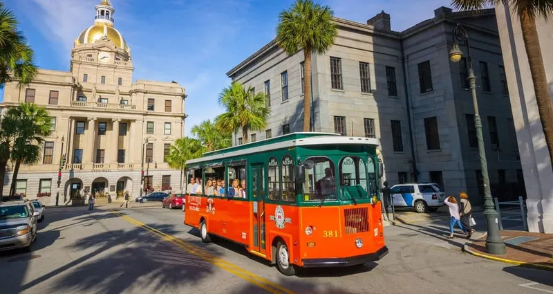
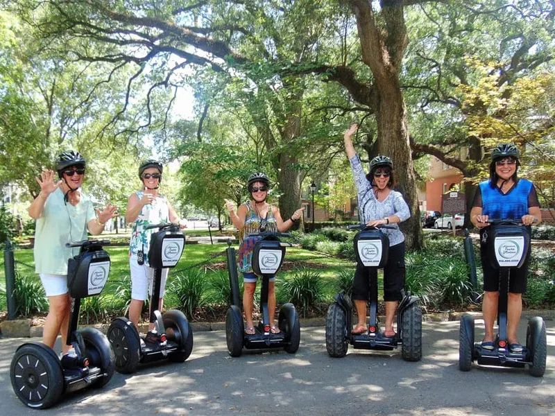
A guided walk trades geographic coverage for a specific subject. A commercial hop-on trolley is a narrated tour with reboarding privileges. CAT's Downtown Transportation system is public transit and currently includes the free DOT shuttle and Savannah Belles Ferry. It does not include a guided tour. Verify the day's service window on the CAT schedule page, especially around events.
Parking and the river grade
Driving from square to square usually creates more work than it saves. Choose a city garage based on the first and last stop, and check that garage's rate page for special-event pricing. River Street is below Bay Street. Public elevators at Bull Street/Bay Street and at the Plant Riverside District's Alida Hotel provide alternatives to the historic steps, but they do not make every stretch of old paving level.